
Geoengineering Information
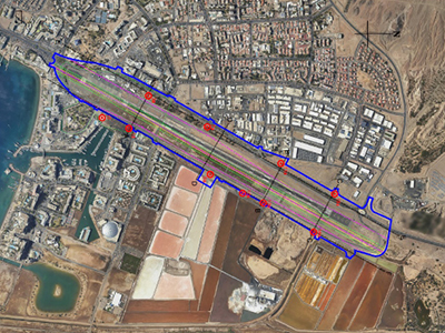
Data collected in geoengineering investigations performed by the company is processed by software-based geotechnical database systems such as gINT, Autodesk, ArcMap. CAD and GIS capabilities are applied to this database to produce high resolution presentation and can be used to provide preliminary data on soil and rock conditions on new sites.
List of Sample Projects: